
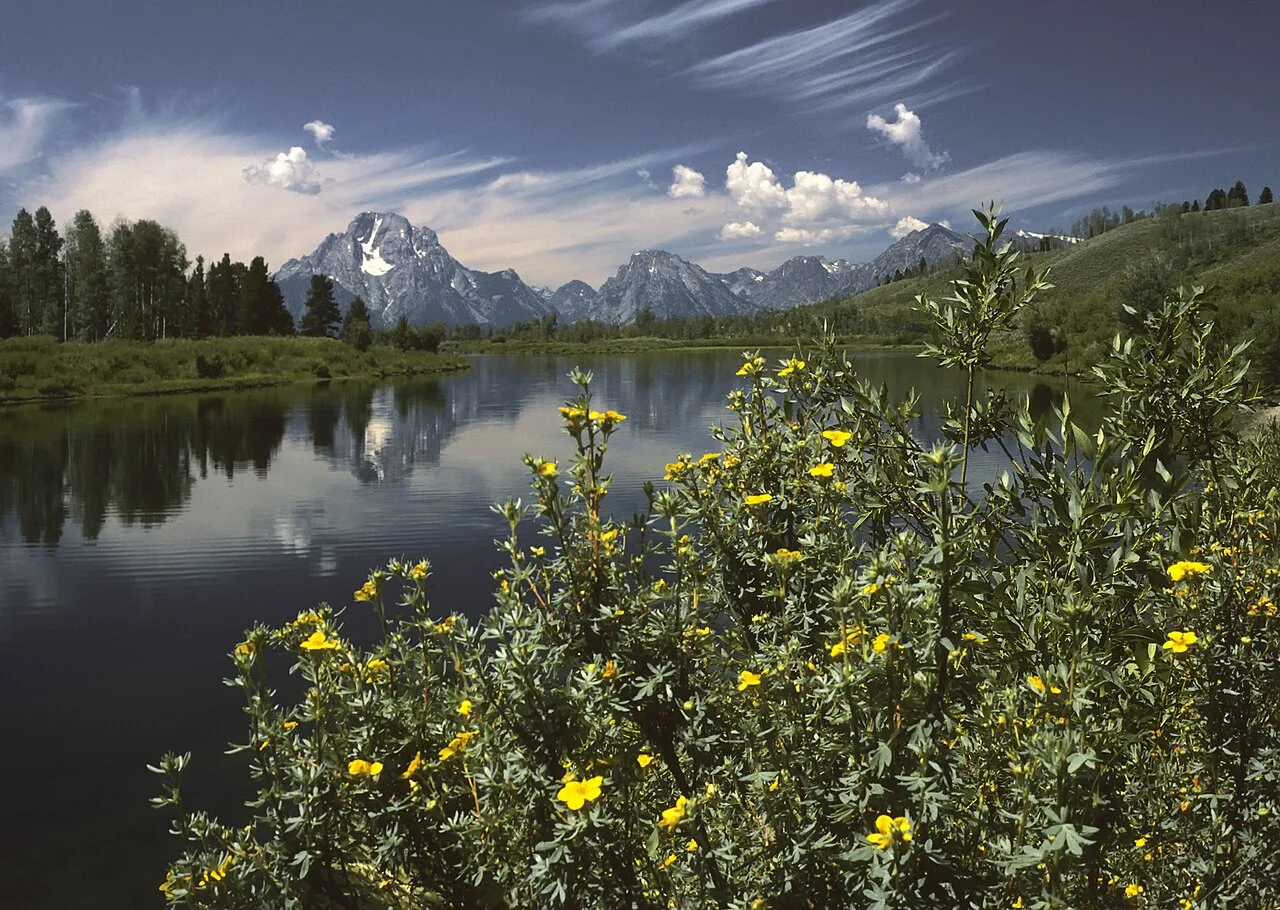
Editorial illustration SNASTI.NET.
A photo of a nice shoreline is the start of the search, not a ready‑made plan. Compare the location, how up to date the description is, access arrangements and the real conditions that matter for your group and gear.
What to look at
Date and specifics
Check when the contacts and description were last updated. Water levels, access roads and parking availability change. A review of a summer shore does not guarantee that the same spot will be convenient after autumn rains.
Questions for the owner
For a managed fishery, clarify the fee, rules, booking, schedule and on‑site conditions. Write down the answers before the trip. If part of the information is unclear, do not replace it with assumptions based on photos.
Backup option
Find another accessible spot nearby or arrange a shorter format of the outing. Do not try to bypass a closed area via unknown field roads. Local restrictions are more important than the route suggested by the navigator.
Leave a buffer in the plan
Create a simple plan: where the route starts, how to return and when to inform relatives of completion. Count time for rests, photos and finding the way separately. If the group gets tired or the weather changes, shortening the walk is a normal decision. A short backup option is best prepared at home when you have connectivity and time to calmly compare possibilities.
Practical summary
Save the place listing and contact details for offline access. After your own trip it is more useful to verify the exact conditions than to leave a generic rating without explanation.
Next step: open the departure plan and the map of spots, to link the recommendations with a specific outing. Check current access to the chosen area before you go.